Utah
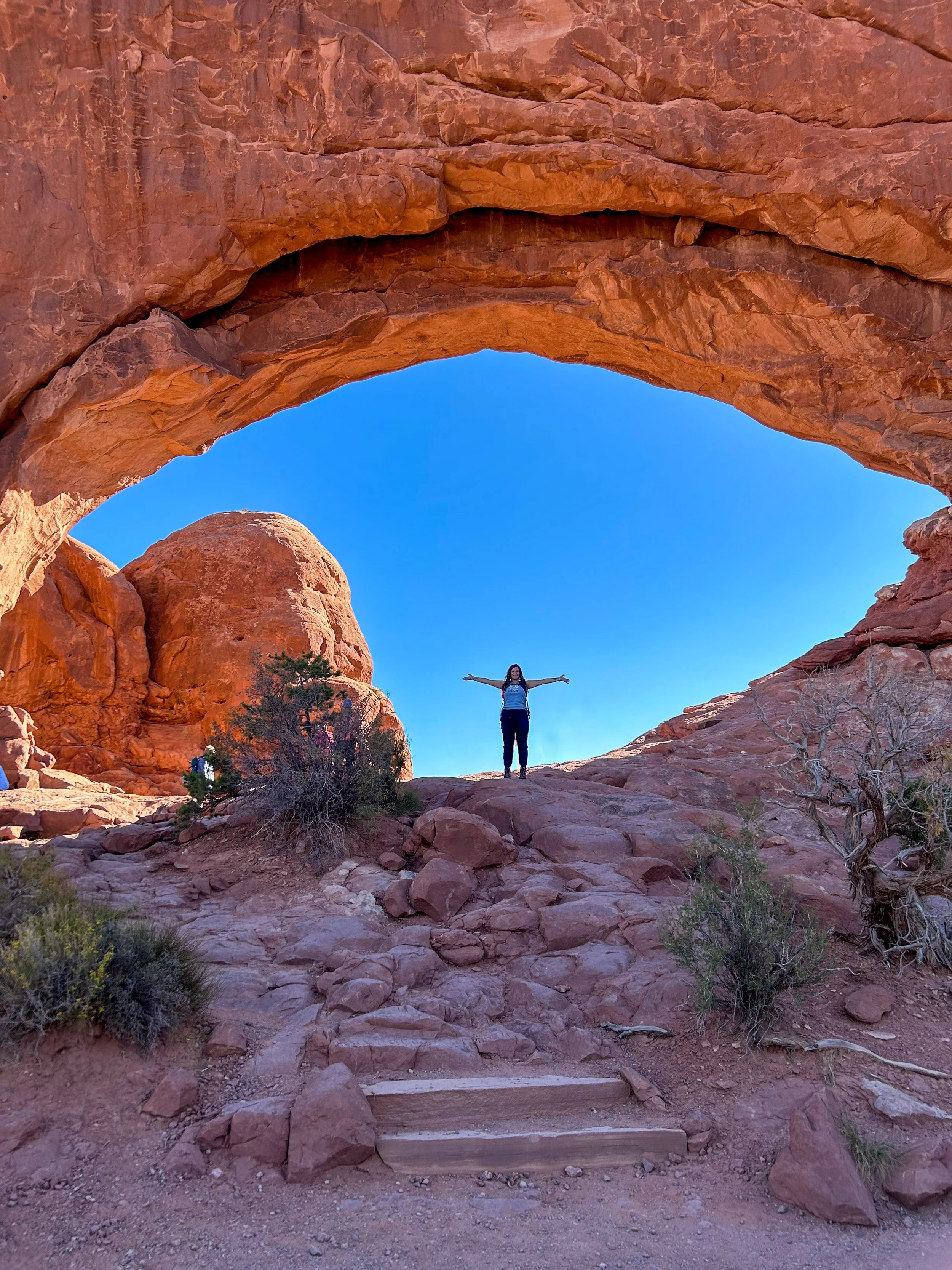
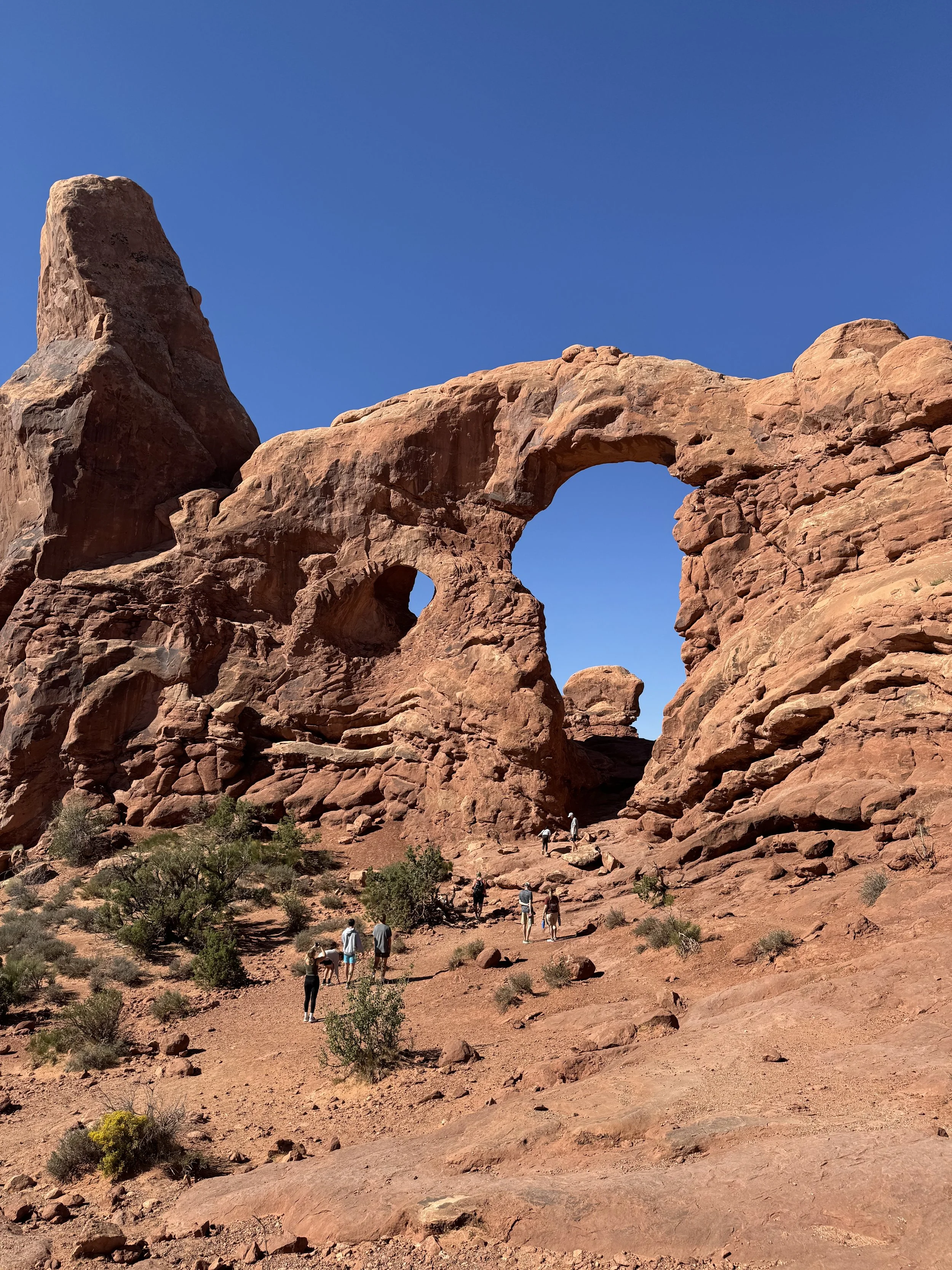
Arches National Park
Grand County
Arches Entrance Rd, Utah 84532
Our Rating:
*5 out of 5 stars* This is an awesome park with stunning views, whether you decide to hike or just drive through it’s a must do!
About the place:
As you can imagine, Arches National Park gets it’s name from the incredible arches that fill the park, there are over 2,000 documented arches in this area. The rock formations you see are approximately 65 million years old.
Windows Trail
North Window Arch
Turret Arch
South Window Arch
More info coming soon
Garfield County
Bryce Canyon National Park
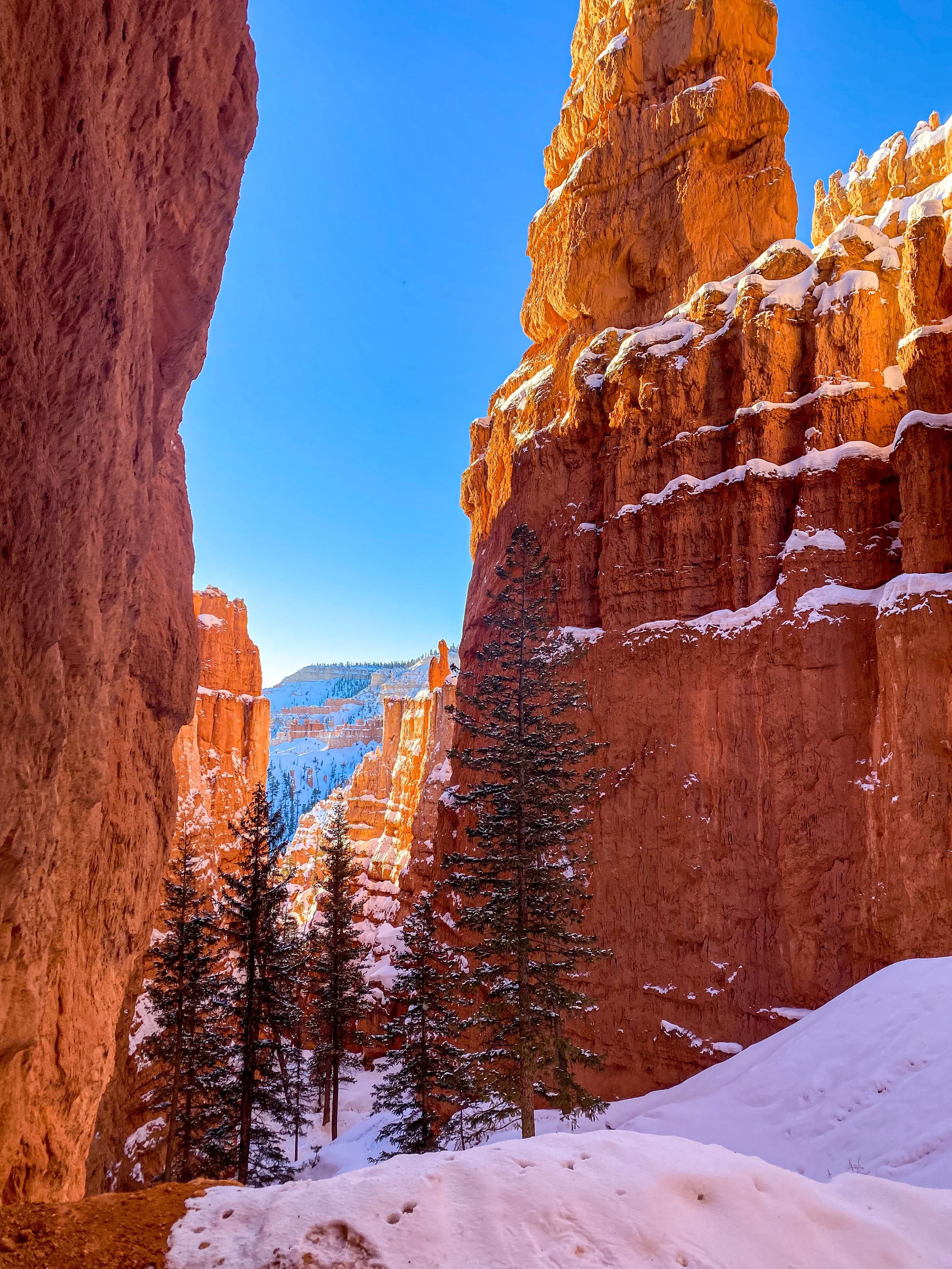
Navajo Loop Trail:
Hike Difficulty: ★★★☆☆
Views: ★★★★★
Our rating:
*5 out of 5 starts* The Navajo Loop is absolutely stunning, it’s no surprise that this is one of the most popular trails in the park. This is a must do when visiting Bryce Canyon!
About the place:
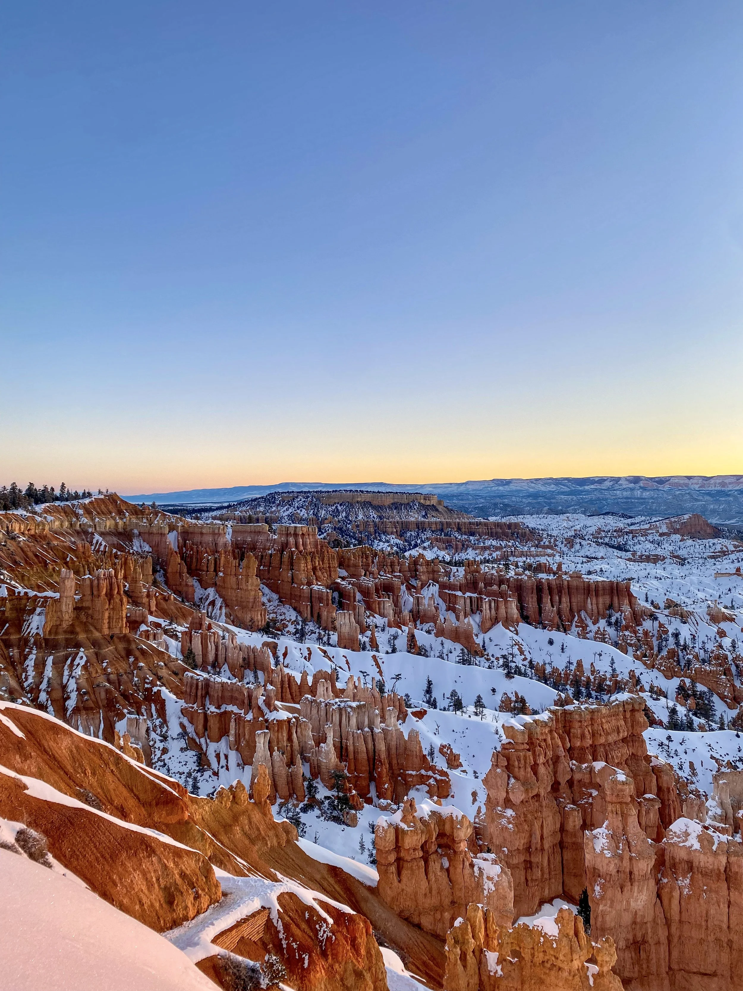
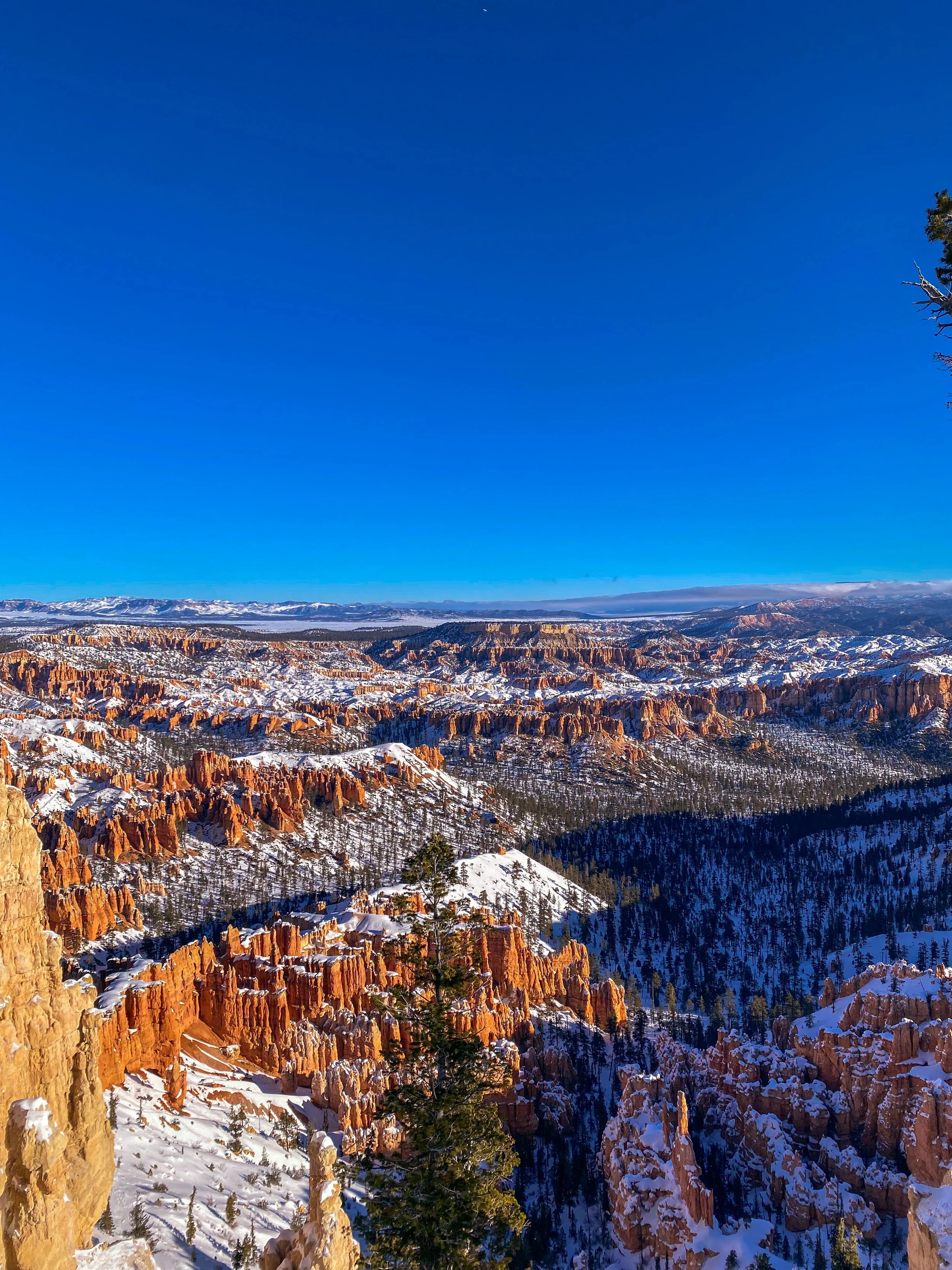
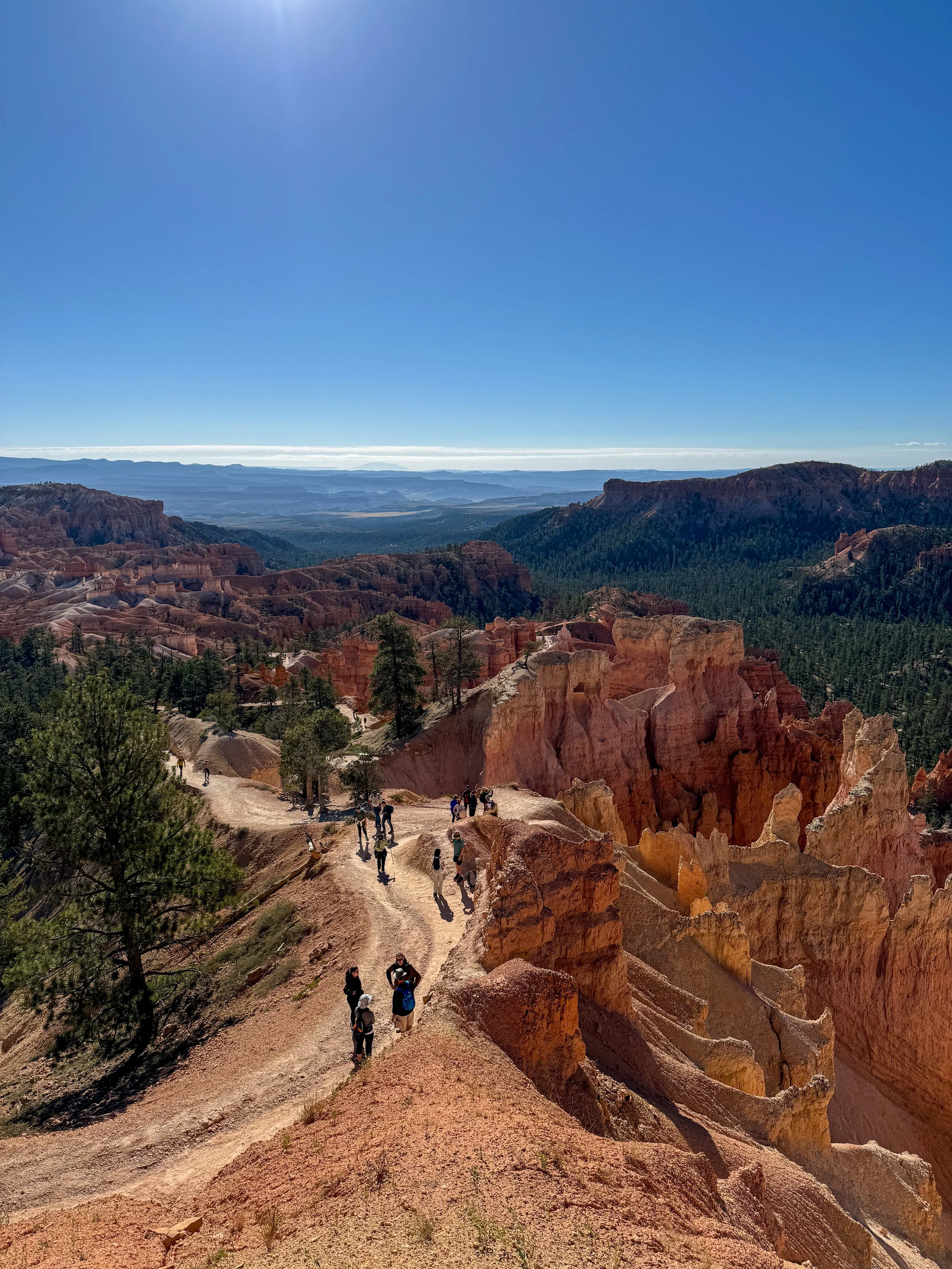
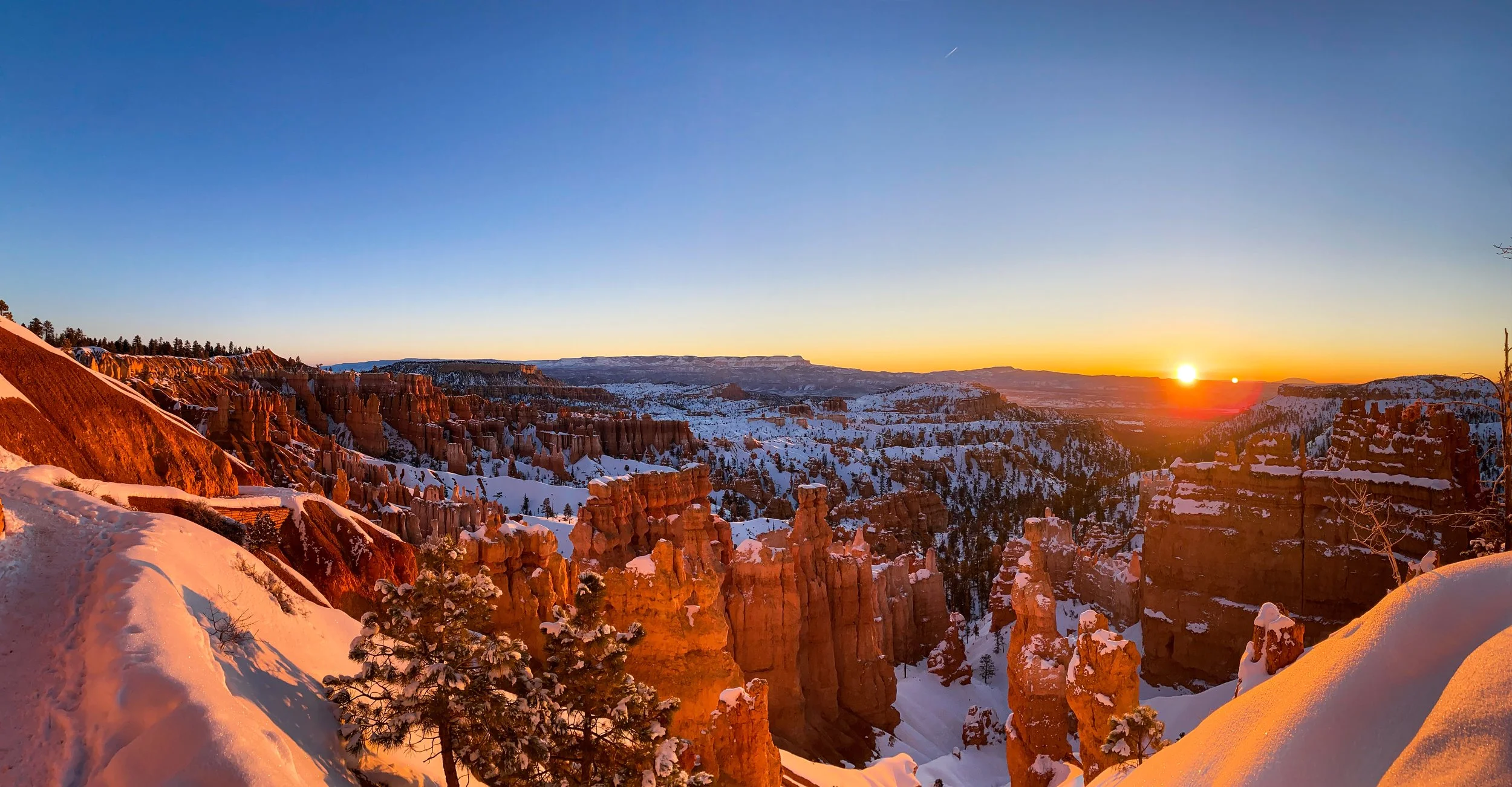
This is an incredible 1.4 mile round trip loop trail with a 550 ft elevation change. During the winter months many of the roads are closed but thankfully the one to this trail is not. Although it’s typically very cold, the view of the snow on the red rocks is breathtakingly beautiful. Due to the high elevation change this is known as a fairly tiring hike. If you are able, I highly recommend doing this one at sunrise. The view will blow you away and it helps avoid a lot of the crowds that come later in the day.
How to get there:
Once you go through the Entrance of Bryce Canyon you will be following along Maine Park Road. Take your 4th left onto Sunset Point Road and park at the the end where the bathrooms are. The Navajo Loop starts on the Rim Trail Sunset Point Trailhead.
Bryce Point Overlook:
Hike Difficulty: ★☆☆☆☆
Views: ★★★★★
Our rating:
*5 out of 5 starts* This is the perfect stop to get incredible views with very little effort. I wouldn’t go through this park without stopping by to check this view out!
About the place:
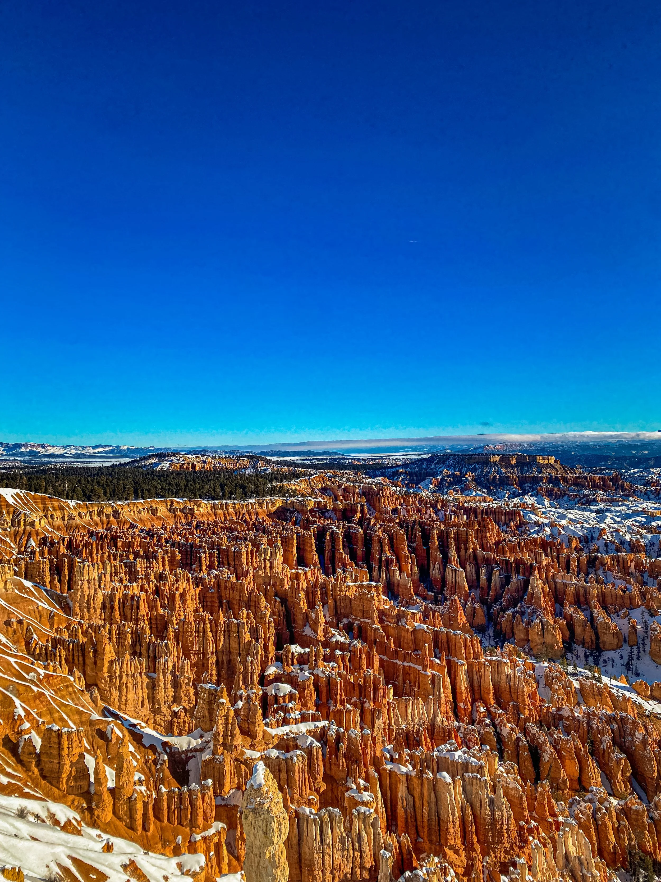
Bryce Point Overlook, standing at 8,300 feet is a stunning view to see. There’s nothing like seeing that white snow on the red rocks with the clear blue skies. The best part about this stop is that you don’t have to hike to see it, just park and walk the short distance to the overlook. It’s also open year round.
How to get there:
This overlook is very easy to find, it’s located at the end of Bryce Point Road.
Inspiration Point Overlook:
Hike Difficulty: ★☆☆☆☆
Views: ★★★★★
About the place:
Inspiration Point Overlook is at a slightly lower elevation than Bryce Point, standing at 8,100 feet. At this overlook you get an incredible view of the beautiful red rock formations along with stunning mountains in the background. No photo can do this park justice. Unfortunately, this overlook is not wheelchair accessible and dogs are not allowed.
Our rating:
*5 out of 5 starts* This is a beautiful and super easy stop that’s open year-round. There’s no hike needed so it’s perfect for anyone to view.
How to get there:
This overlook is very easy to find, it’s located at the end of Inspiration Point Road. Take the very short but a little steep trail to the viewpoint.
Mossy Cave:
Our rating:
*3 out of 5 stars* This short hike is perfect if you don’t have much time, you’ll get to see some pretty rocks and a neat little waterfall that was frozen when we visited. There’s a larger waterfall seen in the distance along the trail that you can visit if you go off trail.
Hike Difficulty: ★☆☆☆☆
Views: ★★★☆☆
About the place:
Mossy Cave is a great 0.4 mile out-and-back hike that offers beautiful views and a cool little cave at the end of it. As you’re heading towards the cave you will cross over a bridge, as you pass look to your right and you will see a beautiful waterfall in the distance. Many people veer off trail to go check out the falls.
How to get there:
Mossy Cave is located along State Route 12. If you’re heading east along this road, there will be a decent sized parking lot on your right about 3.5 miles after the round-about. When the trail splits be sure to go left, this will take you right to the cave.
How to get there:
The trailhead for this hike is located right next to Sunrise Point. There aren’t any signs for the trail when you’re in the parking lot, so it can be a little confusing. Just follow one of dirt paths to the view of the canyon and you should see signs for Sunrise Point.
Queens Garden Trail:
Hike Difficulty: ★★★☆☆
Views: ★★★★★
About the Place:
The Queens Garden Trail at Bryce Canyon is a super fun 1.6 mile hike. The hike has about 390 ft elevation gain and due to the high elevation you can get tired easily making this a more difficult hike. Throughout this hike you’ll go through rock tunnels and see stunning views the entire time. At the end of the trail, there’s a rock that stands high and looks exactly like Queen Elizabeth. At the end of the trail you can either decide to turn back or you can continue on to the Navajo loop and go back that way. If you take the Navajo loop, the total hike is 2.9 miles. After your hike, form the parking lot you can walk to the Lodge at Bryce Canyon and grab a bite to eat, use the restroom or shop.
Our rating:
*5 out of 5 stars* This hike was beautiful and so worth it. The trail takes you down into the canyon so as you can imagine there’s a lot of elevation change, the hike back up can be strenuous.
Places near Bryce Canyon:
Red Canyon Arch 11.5 miles away (14 mins)
The Belly of the Dragon 60.3 miles (1 hour 10 mins)
Zion National Park 72.3 miles away (1 hour 18 mins)
San Juan, Wayne, Garfield, and Grand counties
Canyonlands National Park
Mesa Arch
Grand View Point Road, UT 84532
Our rating:
*5 out of 5 stars* This is a must see, especially if you’re looking for something quick! The views are truly incredible to see, the only downside of this stop are the crowds.
Hike Difficulty: ★☆☆☆☆
Views: ★★★★☆
About the place:
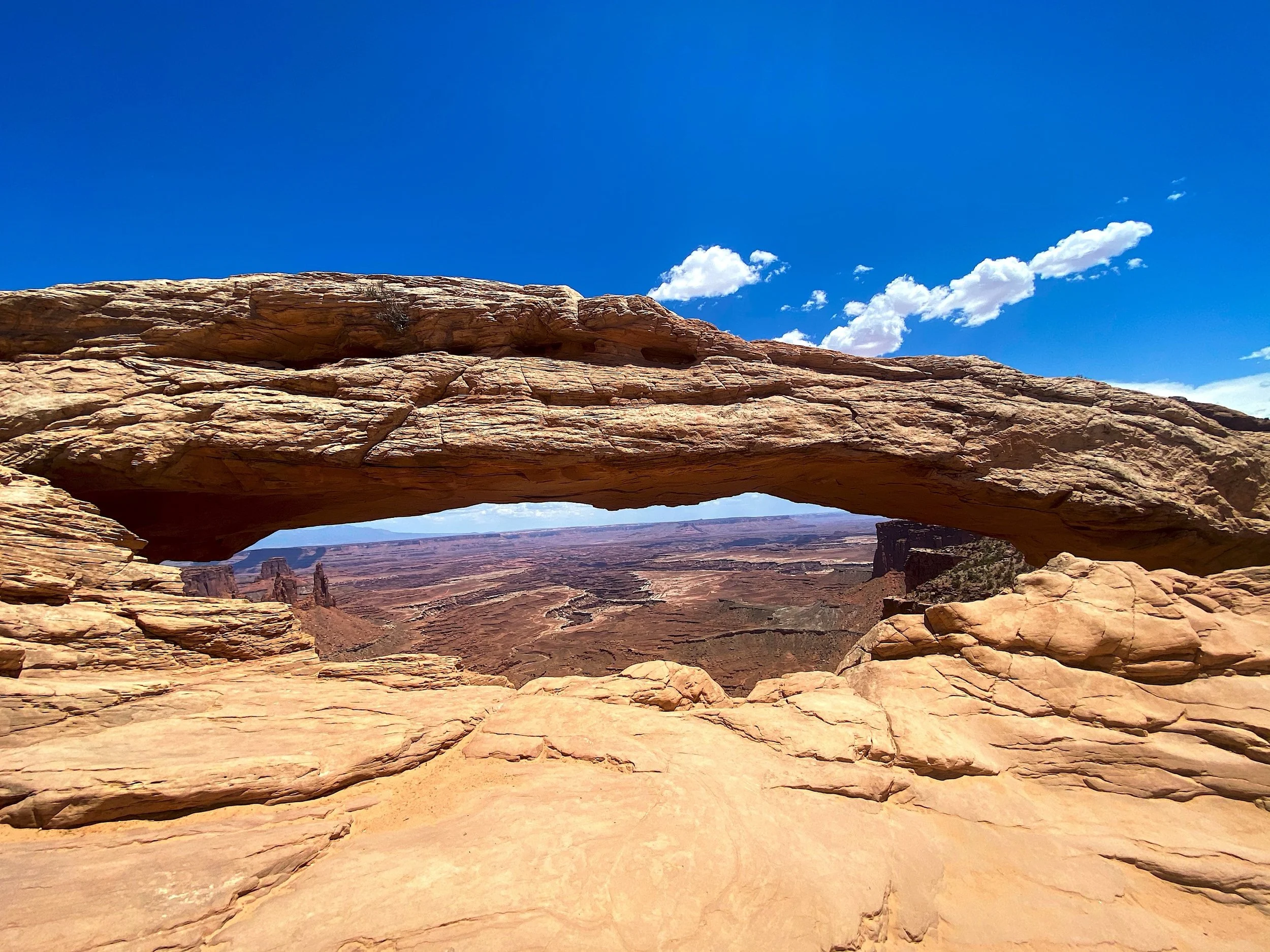
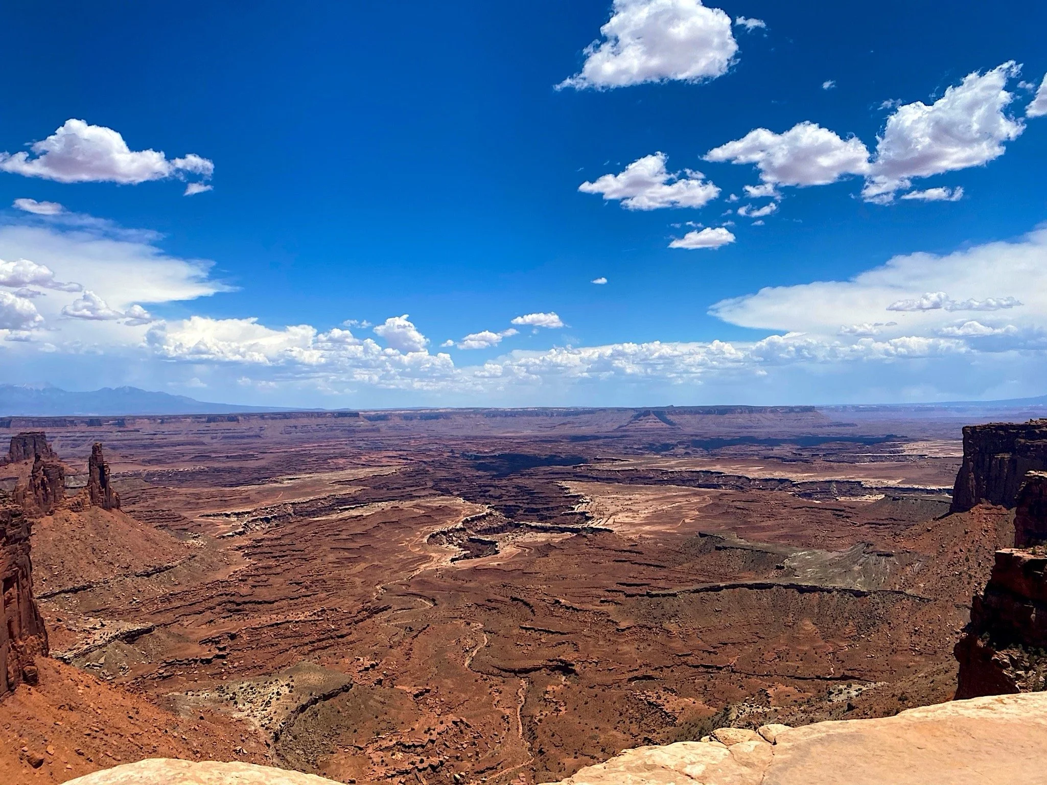
The Mesa Arch in Canyonlands National Park is a beautiful stop that’ll certainly take your breath away. This a short 0.6 mile roundtrip hike, but don’t underestimate it! This may be known as an easy hike but the extreme heat and sun can definitely take a toll on you, be sure to wear sunscreens & bring lots of water! This is one of my favorite hikes because the views are so incredible and it takes little effort to get to. The only unfortunate aspect of this hike is that it draws in a lot of crowds.
How to get there:
The parking lot for the trailhead is located off of Grand View Point Road in Canyonlands National Park.
Places near by:
Dead Horse Point State Park 11.5 miles away (17 mins)
Arches National Park 26.2 miles away (30 mins)
Moab, UT 30.2 miles away (34 mins)
San Juan County
Dead Horse Point State Park
Moab, UT 84532
Our rating:
*5 out of 5 stars* This is such a beautiful State Park that takes little effort to to view. It was the perfect place for us to drive through with a limited amount of time to explore.
About the place:
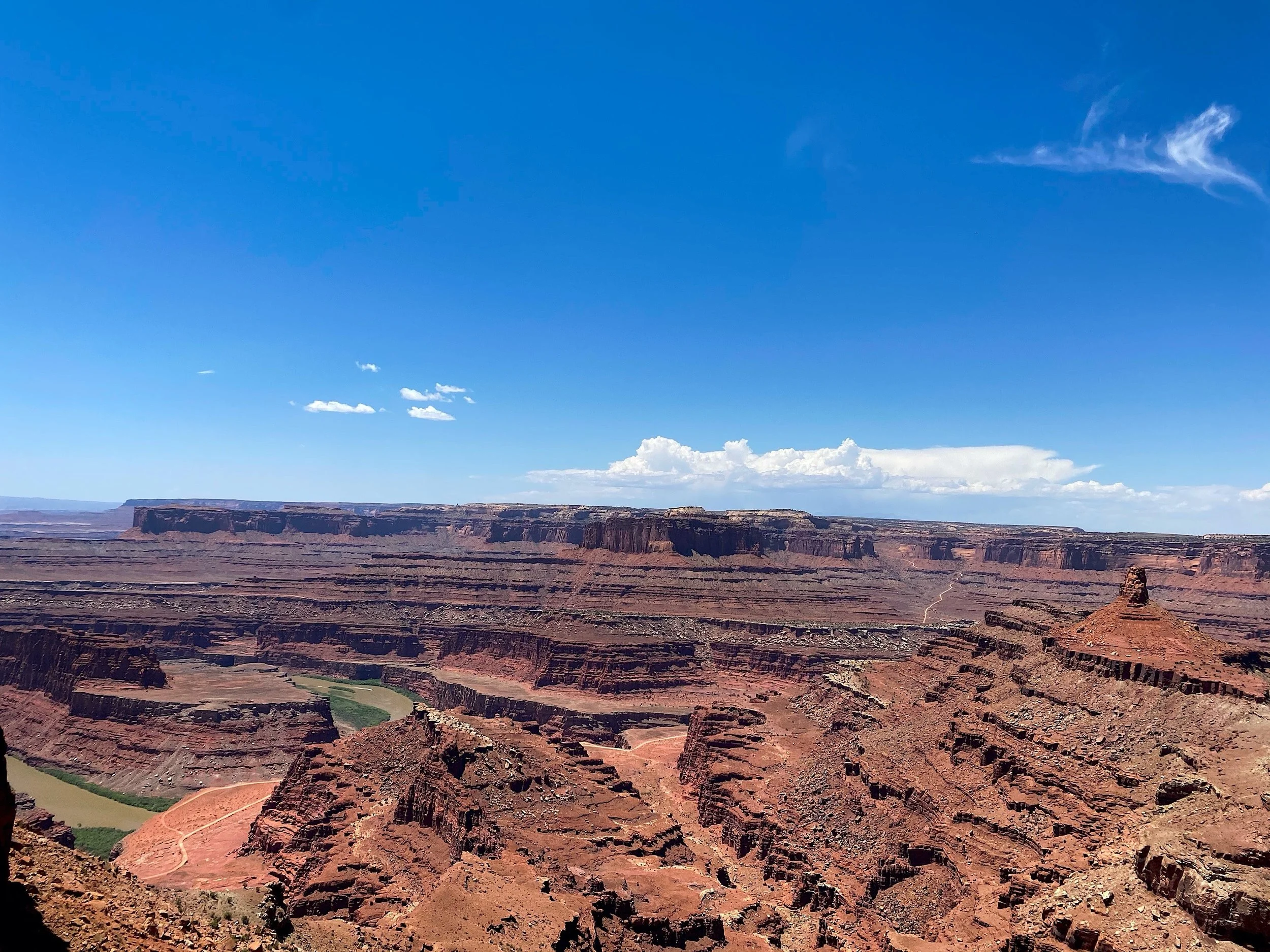
Dead Horse Point State Park is one of the many popular stops in the Moab area. This park offers some incredibly stunning views and there are plenty of pull offs to take in these views without having to hike. Unfortunately this park carries a sad history. The name comes from an old legend, when cowboys rounded up the wild mustangs in the area and forced them down the neck of the plateau shown in the above picture on the right. The cowboys then chose the horses they wanted as their own and fenced off the neck of the plateau to coral the remaining horses. For reasons still unknown, the heard was either left or forgotten. Eventually all of the horses succumbed to the severe heat and lack of food & water with the Colorado River flowing 2,000 feet below them. It’s said to this day, that hikers can still hear the the ghosts of the horses. While visiting be sure to look just to the right of the plateau that theses horses were trapped on. It’s very hard to see in a picture, but the river has carved out a portion of the canyon in the shape of a horse, it’s pretty remarkable to see.
How to get there:
You can find beautiful overlooks along the end of UT 313 W. If you’d prefer to hike, there are many options in the area, I wish we had time to do some while we were visiting.
Places near by:
Canyonlands National Park 11.5 miles away (17 mins)
Mesa Arch 19.9 miles away (32 mins)
Arches National Park 28.7 miles away (36 mins)
Sevier County
Mystic Hot Springs
Mystic Hot Springs, 475 E 100 N, Monroe, UT 84754
Our rating:
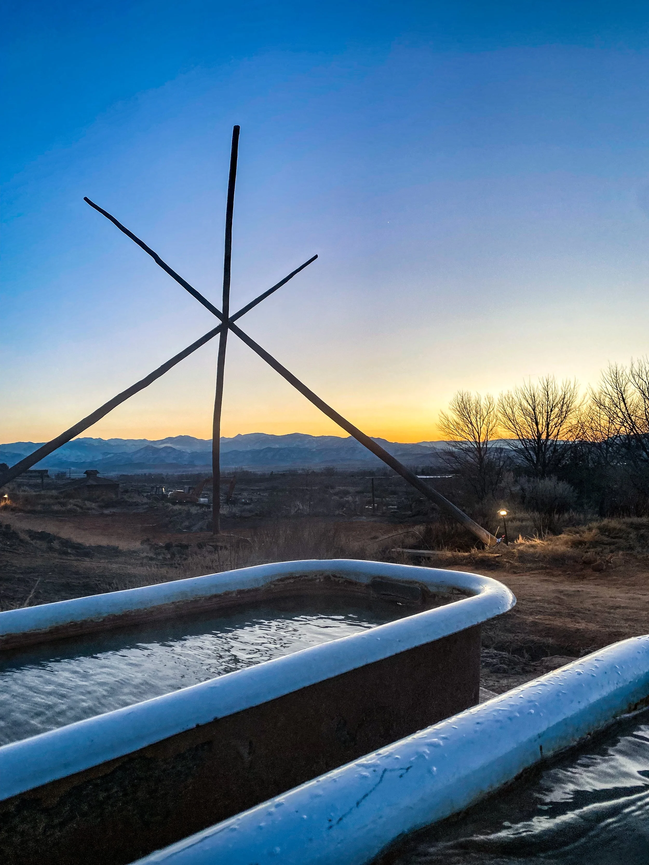
*5 out of 5 stars* We absolutely loved this stop, especially at sunset! Mystic hot springs is a super neat spot with beautiful views of the mountains in the distance.
About the place:
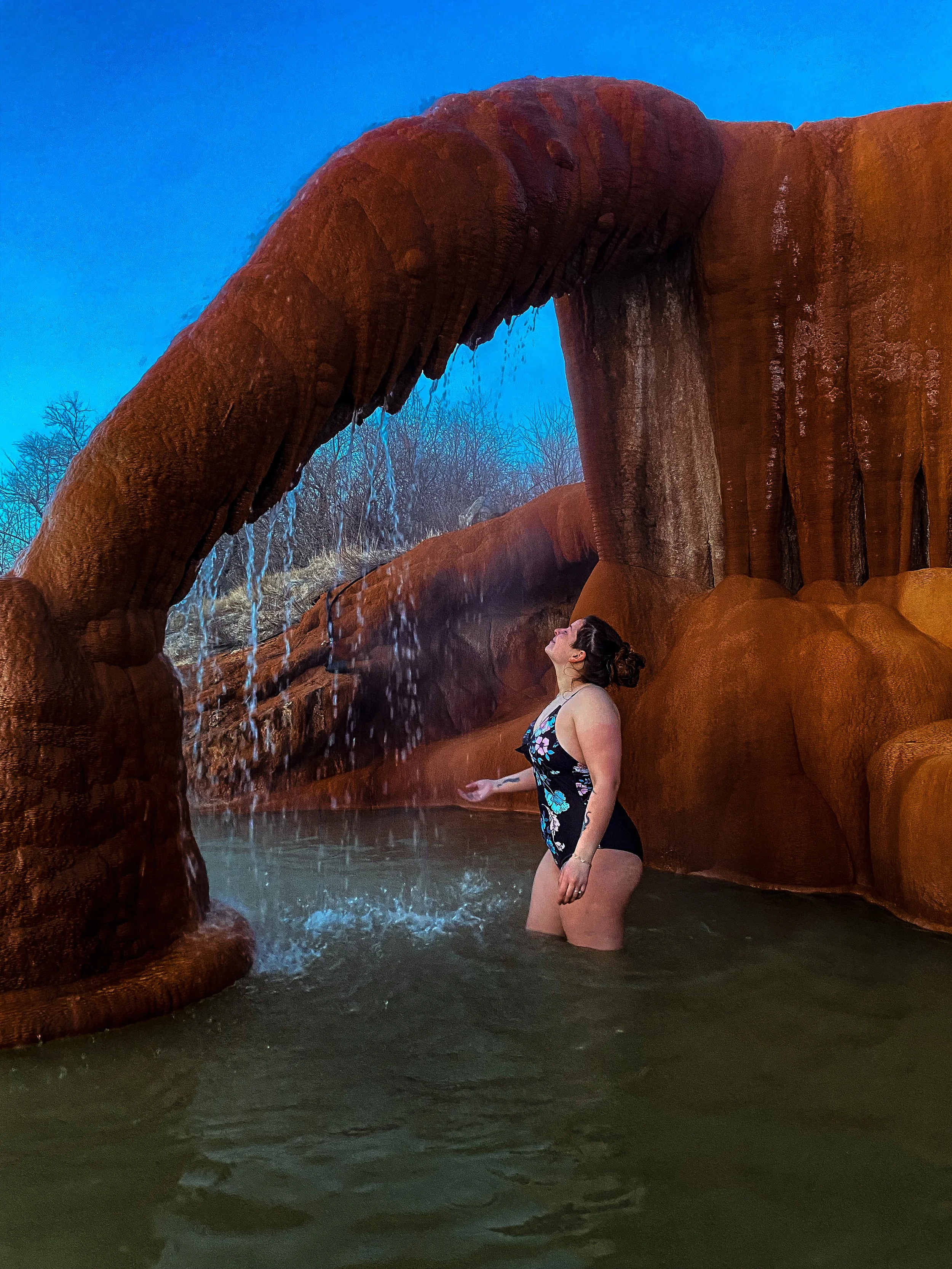
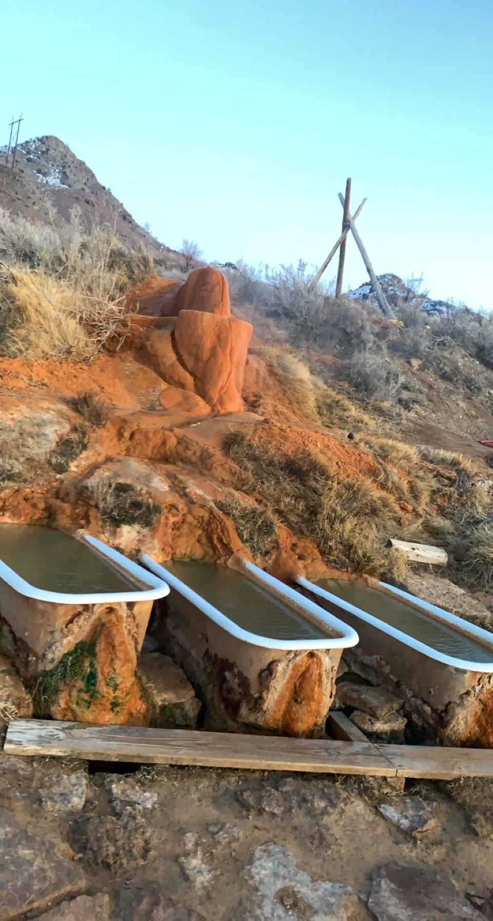
Mystic Hot Springs is a great spot with 2 pools and multiple bathtubs spread-out along the property. One of these pools is 2 feet deep and has a cool waterfall formed by minerals. The other pool is 4 feet deep and is great for soaking & floating around. To visit this unique stop you need to purchase reservations at https://mystichotsprings.com/experiences/soaking-passes/ . Tickets are $12.50 for kids 12 & under and $25 for everyone else.
How to get there:
This hot spring is located off at the end of E 100 N. You can park infront of the bathroom but you will need to call the phone number on the gate at the end of the road for the secret directions.
Places near by:
Red Canyon Arch 82 miles away (1 hour 25 mins)
Bryce Canyon National Park 93.5 miles away (1 hour 45 mins)
San Juan County
Valley of the Gods
65MP+X5 Mexican Hat, Utah
Our rating:
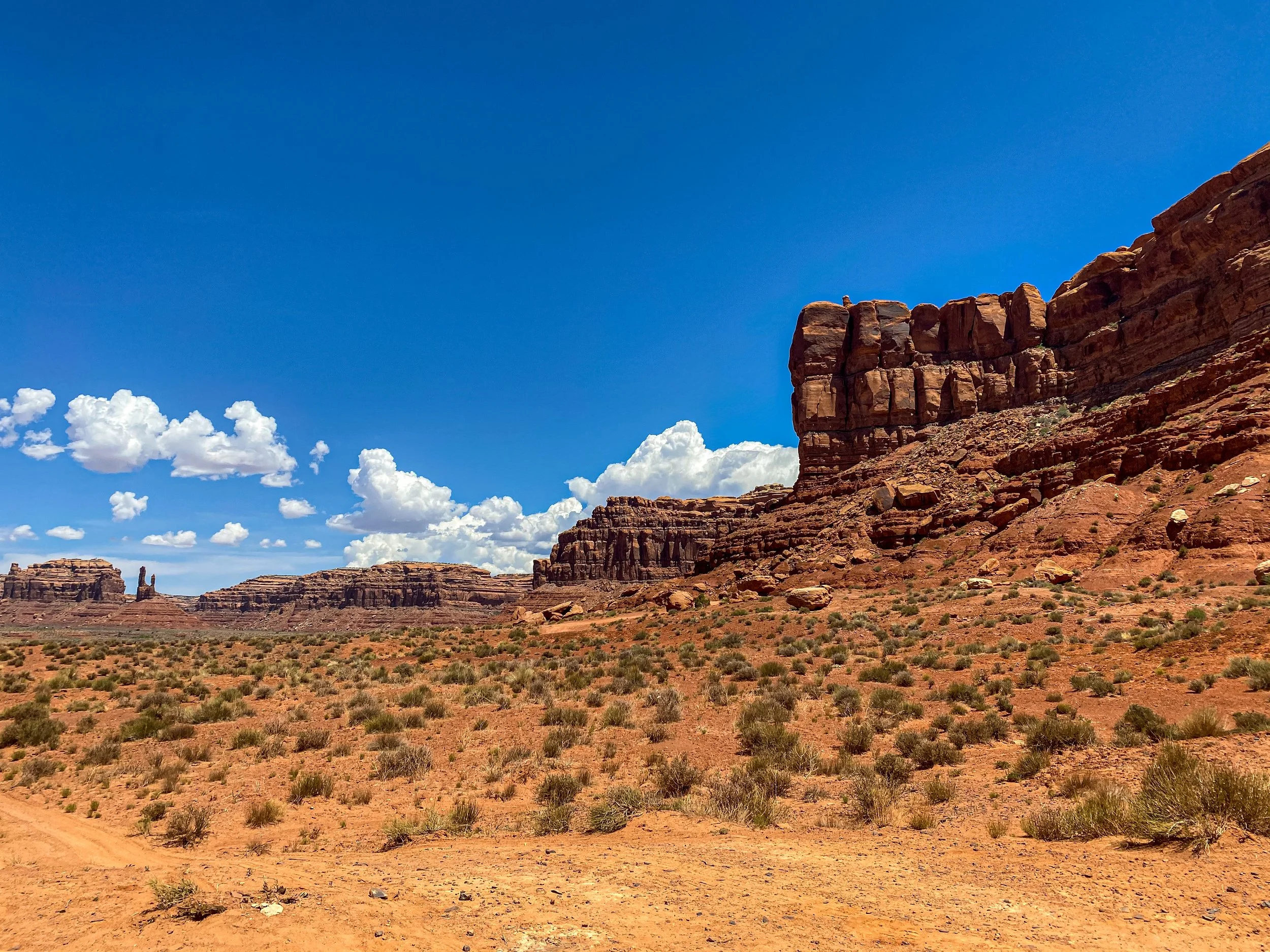
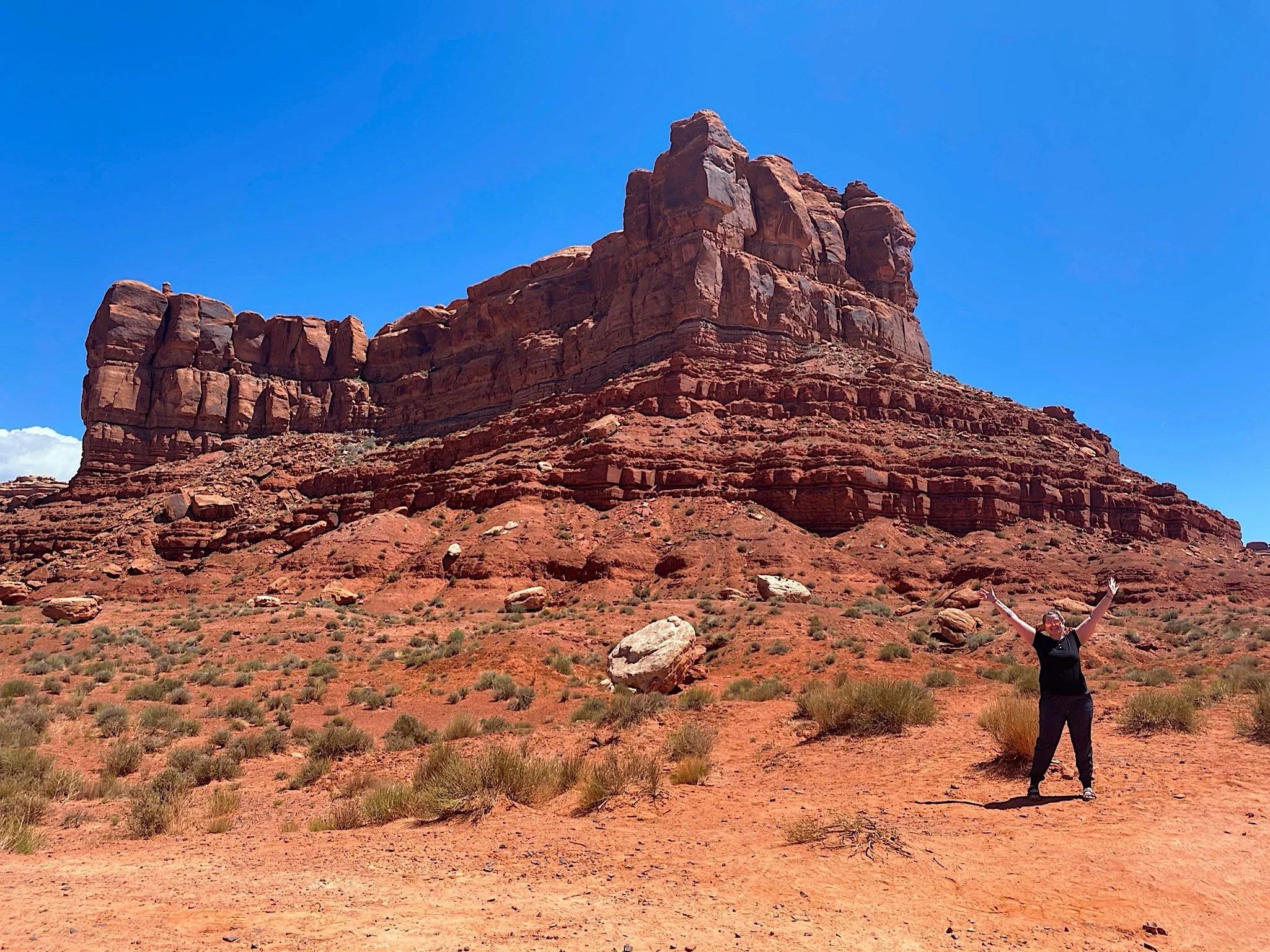
*5 out of 5 stars* This is a such a cool place to visit, we loved driving through here along our west coast road trip.
About the place:
Valley of the Gods is a beautiful place with a 17 mile scenic loop along a dirt road. This beautiful drive is located in the desert with towering rock formations all around you, it is said to be called the mini “Monument Valley”. Although the roads are dirt, they are easily passable so I don’t believe a 4x4 is required for this drive.
How to get there:
The entrance to Valley of the Gods is located off of Hwy 163 in Mexican Hat, UT.
Things near by:
Mexican Hat Rock 6.2 mile away (8 mins)
Monument Valley 35.5 miles away (36 mins)
Four Corners Monument 65.6 miles away (1 hour)
Washington County
Zion National Park
Our rating:
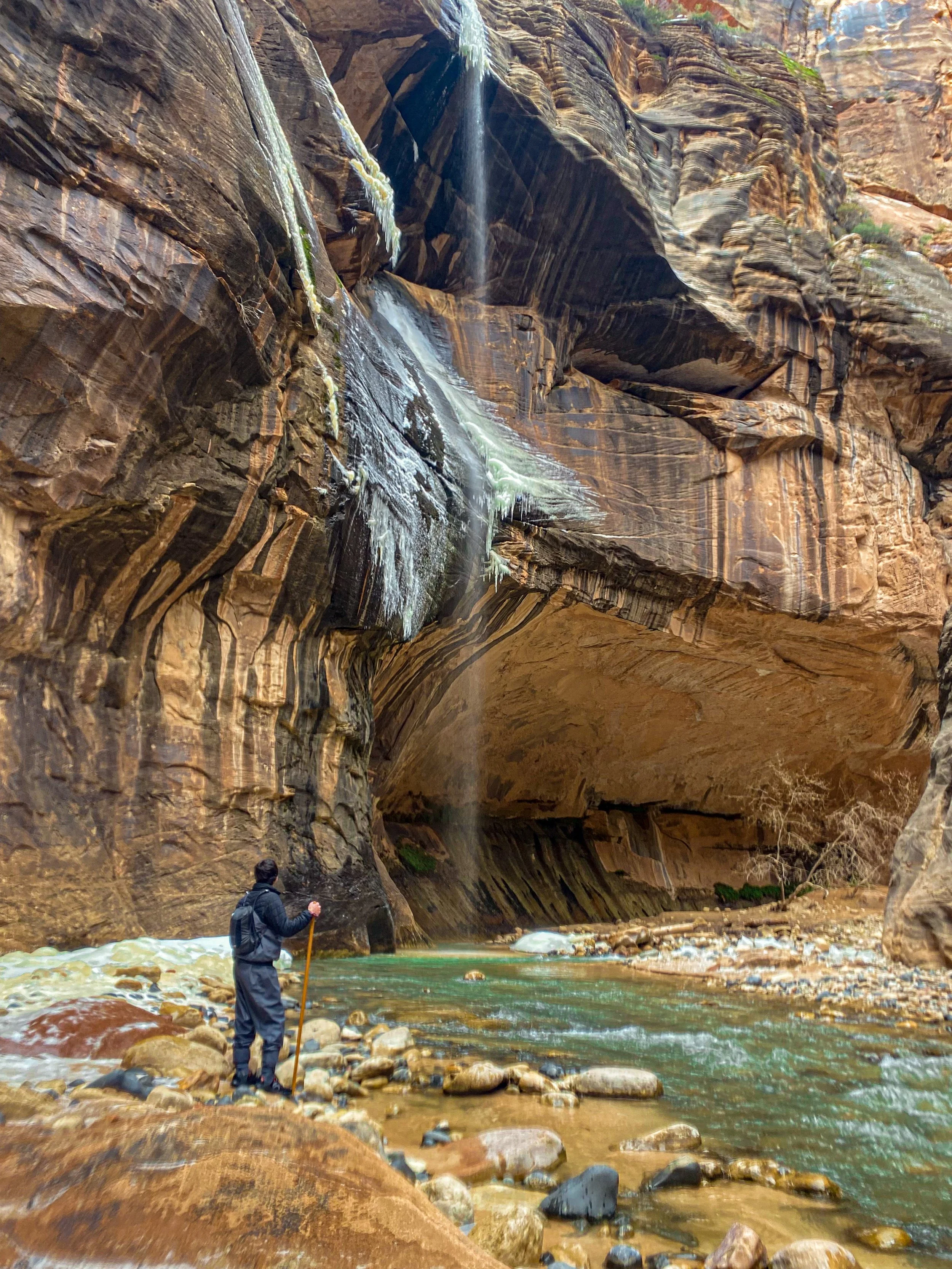
*5 out of 5 stars* This is definitely a bucket list hike that I think everyone should experience. The Narrows of Zion is a magical place, I’ve never seen anything like it.
The Narrows (bottom up):
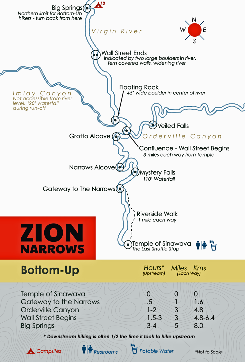
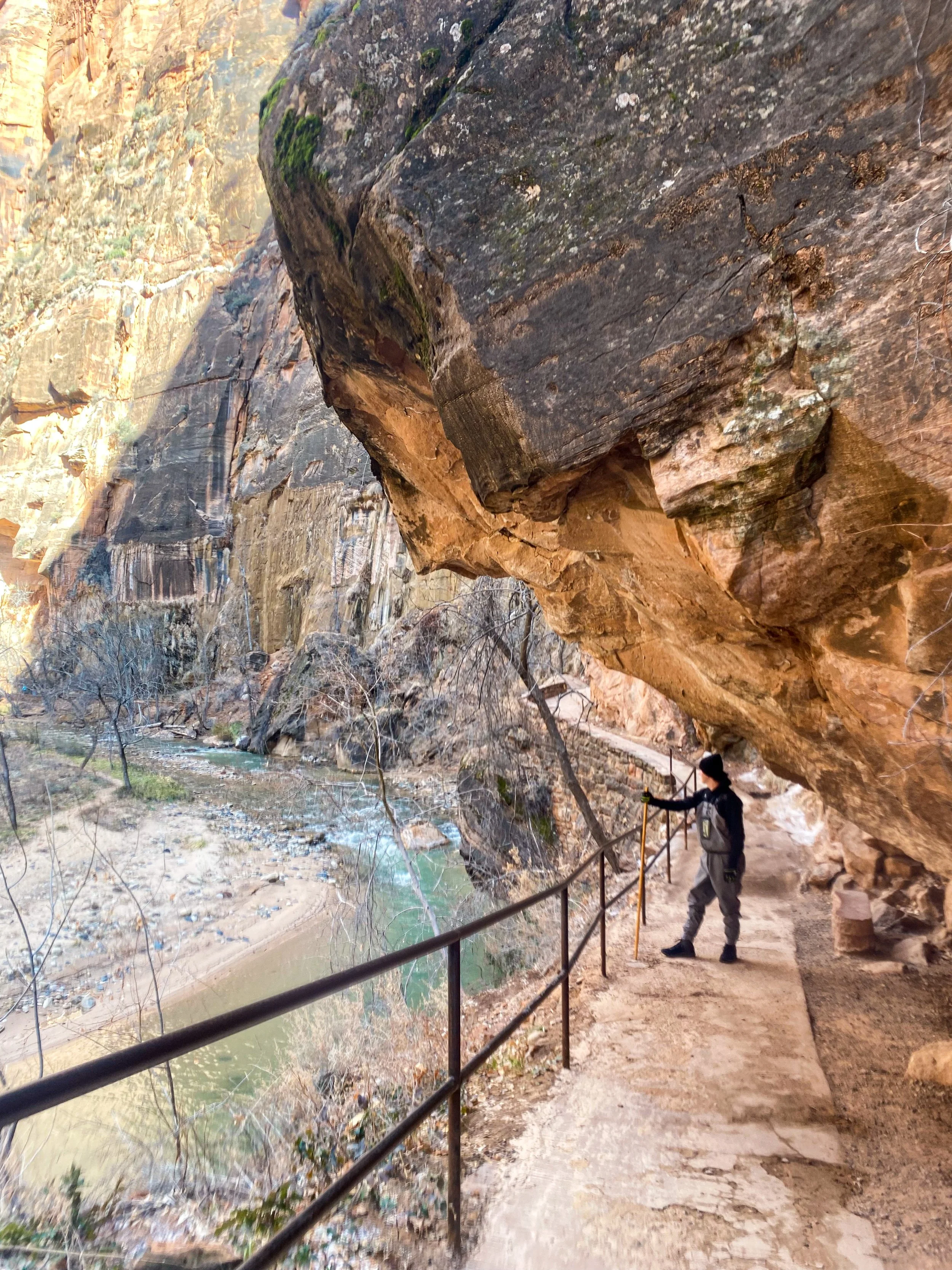
This is a slightly challenging hike as you’re hiking through the river, but the pure beauty all around you makes it so worth it. This hike starts out on a gorgeous 1 mile (one-way) paved trail that follows along the river, many people who don’t want to go in the river walk along this trail. At the end of this path you’ll come to a set of stairs where you can walk into the river. There are many different stunning landmarks along this trial (see below map), it all just depends on how far you want to hike. I highly recommend renting gear from Zion Outfitters especially if you’re doing this in the colder seasons. I also wouldn’t do this hike without looking at the weather first, this area is known for flash floods so it’s safest to avoid attempting during any precipitation. Most people do this hike from the bottom up but you can also do it from the top down if you acquire a permit.
About the place:
At the end of Zion Canyon Scenic Drive is the Temple of Sinawava Bus Station. Here you can find parking for this trail, it tends to be busy, so it’s best to get here early. The hike will start on the Riverside Walk Trailhead, which is 2 miles round trip. At the end of this trail there’s a set of stairs you can follow to enter the river. From here you can travel through & along the river for as long as you want.
How to get there:
Other hikes near the Narrows:
Angels Landing 1.2 miles away (4 mins)
Canyon Overlook Trailhead 10.9 miles away (26 mins)
Bryce Canyon National Park 83.7 miles away (1 hour 50 mins)
Hike Difficulty:
★= very easy / ★★= fairly easy / ★★★= medium difficulty / ★★★★ = challenging / ★★★★★ = strenuous
Hike Views:
★ = not very exciting / ★★ = some pretty views / ★★★ = beautiful views / ★★★★ = amazing views /
★★★★★ = Unbeatable views
