Maine
Hancock County ~ Acadia National Park
Acadia Mountain
Mount Desert, ME
About the Place:
Acadia Mountain is one of Maines most popular mountains, therefor it’s a busy trail up to the summit. We were lucky enough to go right after a big snow storm so we were the only ones on the trail, but I can imagine it can get very crowded. This trail is a 2.6 mile loop if you end via the Man of War Trail, or you can go back the way you came.
Our Rating:
*5 out of 5 starts* This is an absolutely beautiful hike and the view at the summit is so rewarding!
How to Get There:
This trail for Acadia Mountain is fairly easy to find. There is a decent sized parking lot along Route 102 by Echo Lake which is across the street from the stairs up to the trail head.
There are 2 ways to get to the summit of Acadia Mountain. (Option 1) Follow St Sauveur Mtn Trail and turn left onto Acadia Mtn. when the trail splits. Or (option 2) you can start your hike by going down the path that’s on your left after you come up the stairs to the trailhead. This will take you aong the side of the road. Turn east onto the Man of War dirt road to the intersection with the Acadia Mtn Trail.
Things Near By:
Beach Cliff Loop 4.2 miles away (8 mins)
Bass Harbor Head Lighthouse 7.4 miles away (14 mins)
Bar Island Land Bridge 10.9 miles away (20 mins)
Cadillac Mtn. Summit Drive 12.3 miles away (24 mins)
Gorge Path 12.6 miles away (24 mins)
Jordan Pond Loop 14.8 miles away (24 mins)
Beehive Trail 14.8 miles away (27 mins)
Ocean Path Trailhead 15 miles away (28 mins)
Thunder Hole 15.6 miles away (29 mins)
Gorham Mountain Trailhead 15.9 miles away (30 mins)
Otter Cliffs 16.2 miles away (29 mins)
Hancock County ~ Acadia National Park
Bar Island Land Bridge
Bar Harbor, ME
Our Rating:
*4 out of 5 stars* This is a super unique place found in Bar Harbor, ME. I have never heard of a land bridge until we visited here so I wasn’t sure what to expect! We had a blast adventuring along this “bridge”, finding tons of starfish and other little creatures along with seashells & rocks. The only downside of this stop is you have limited time, the bridge is only accessible during low tide.
About This Place:
The Bar Island Land Bridge is a 0.5 mile sand bar that allows you to walk over to Bar Island. At the end of the sand bar there’s a trail that is a 1.4 mile loop around the island. The “bridge” is super fun to explore, it’s filled with tons of critters (Including star fish!).The above 2 photos show you the very big difference of this spot at high tide (left image) and at low tide (right image).
Warning: The land bridge is only accessible 1.5hrs before & after low tide so be sure to check the tide chart! (Click blue button below)
How to Get There:
The Bar Island Land Bridge is super easy to find. This neat location is found right off of West St. in Bar Harbor, ME on a dead end road called Bridge Street. We visited during the off season so we were able to park on this road but during the busier months you may have to find somewhere else to park and then just walk over.
Things Near By:
Cadillac Summit Drive 4.7 miles away (13 mins)
Beehive Trail 4.9 miles away (14 mins)
Gorge Path 5 miles away (14 mins)
Ocean Path Trailhead 5 miles away (14 mins)
Thunder Hole 5.7 miles away (15 mins)
Jordan Pond Loop 5.9 miles away (16 mins)
Gorham Mountain Trail 6 miles away (17 mins)
Otter Cliffs 6.4 miles away (15 mins)
Beehive Trail 7.5 miles away (20 mins)
Acadia Mountain 10.9 miles away (19 mins)
Beach Cliff Loop Trail 11.5 miles away (21 mins)
Bass Harbor Light House 18.4 miles away (32 mins)
Hancock County ~ Acadia National Park
Beehive Trail
Park Loop Rd. Bar Harbor, ME 04609
Our Rating:
*5 out of 5 stars* We absolutely loved this hike and would recommend it to anyone who doesn’t have a fear of heights and enjoys a challenging hike. The views as you climb this mountain and at the summit are jaw dropping.
About the place:
The Beehive Trail is unlike any hike I have ever done, and is definitely not for people with even the slightest fear of heights. This is a short 1 mile round trip loop but the climb can be challenging as there is little room for error when you are on the edge of a cliff. To begin the hike you can go up via the Beehive Trail and go down via the Sandy Beach Loop. The trail down is an easy gradual path down the mountain with no climbing necessary. If you’d like to get to the summit of the Beehive Trail without climbing you can take the Sandy Beach Loop up and down. As you can imagine, dogs are not allowed on the Beehive Trail, but I did see a dog on the Sandy Beach Loop.
How to get there:
To get to the trail you will need to pay the Acadia National Park Entrance Fee at the Sand Beach Entrance (see website for fees https://www.nps.gov/acad/planyourvisit/fees.htm). Just after entering the park you will probably start to see the line of cars parked. This is the parking area for the Beehive Trail. Walk down the street after parking to the entrance of the trail and follow the blue markings up. On the way down the mountain it’s best to take the Sandy Beach Loop trail which will lead you right back to the trail entrance.
Things near by:
Ocean Path Trailhead 0.2 miles away (1 min)
Thunder Hole 0.8 miles away (2 mins)
Gorham Mountain Trail 1.1 miles away (3 mins)
Otter Cliff 1.6 miles away (5 mins)
Bar Island Land Bridge 7.5 miles away (19 mins)
Jordan Pond Loop 9.2 miles away (21 mins)
Cadillac Summit Drive 10.8 miles away (26 mins)
Gorge Path 11 miles away (26 mins)
Acadia Mountain Trailhead 17.3 miles away (32 mins)
Beach Cliff Loop Trail 17.8 miles away (34 mins)
Bass Harbor Head Lighthouse 24.7 miles away (45 mins)
Hancock County ~ Acadia National Park
Cadillac Mountain Scenic Drive
Cadillac Summit Rd, Bar Harbor, ME 04609
Our Rating:
*5 out of 5 stars* The views as you climb this mountain are absolutely incredible. The pictures cannot even do it justice, this is definitely a must do if you visit Acadia!
About the place:
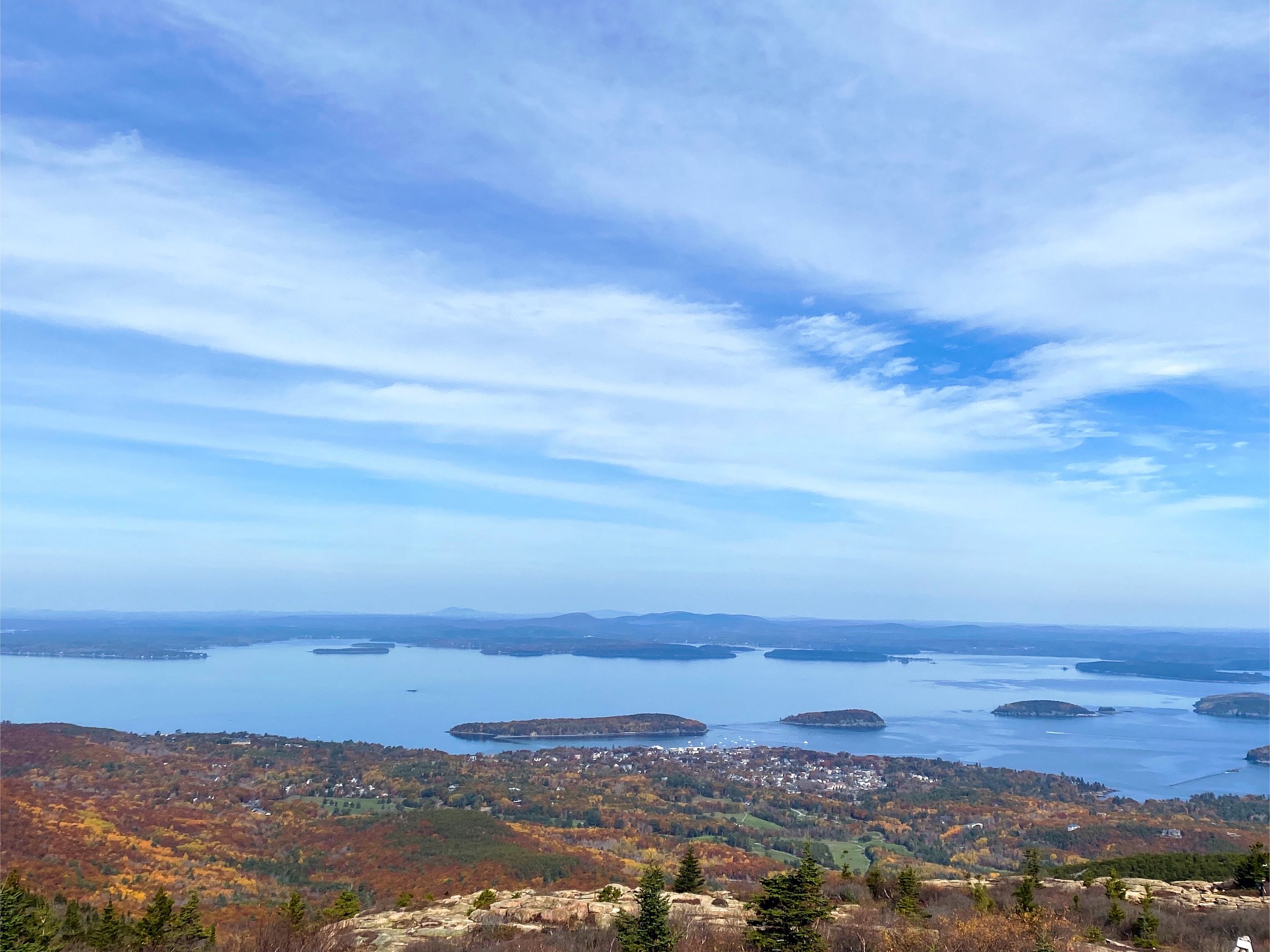
This is a beautiful 3.5 mile drive up Cadillac mountain with truly breathtaking views. There are tons of pull offs along the drive so that you can get plenty of pictures. Typically a reservation is required but sometimes you can get in without one, depending on the day and time. It’s important to note, RV’s and trailers are not allowed on this road. If you’d prefer to hike, there is a 4.4 mile round trip summit trail.
How to get there:
The Cadillac Summit Drive is very easy to find, it’s located off of Park Loop Road on Cadillac Summit Drive. At the summit is a decent sized parking area for you to get out and take in the views. From the summit you will loop back around and take the same road back down the mountain with the same views but from a different perspective.
Things near by:
Gorge Path 0.3 miles away (1 min)
Jordan Pond Loop 4.7 miles away (11 mins)
Bar Island Land Bridge 4.7 miles away (12 mins)
Beehive Trailhead 8.2 miles away (17 mins)
Ocean Path Trailhead 8.3 miles away (18 mins)
Otter Cliff 9 miles away (18 mins)
Thunder Hole 9 miles away (20 mins)
Gorham Mountain Trailhead 9.3 miles away (21 mins)
Acadia Mountain 12.3 miles away (21 mins)
Beach Cliff Loop 12.9 miles away (24 mins)
Bass Harbor Head Lighthouse 19.8 miles away (35 mins)
York County
Nubble Lighthouse
Sohier Park Rd, York, ME 03909
Our rating:
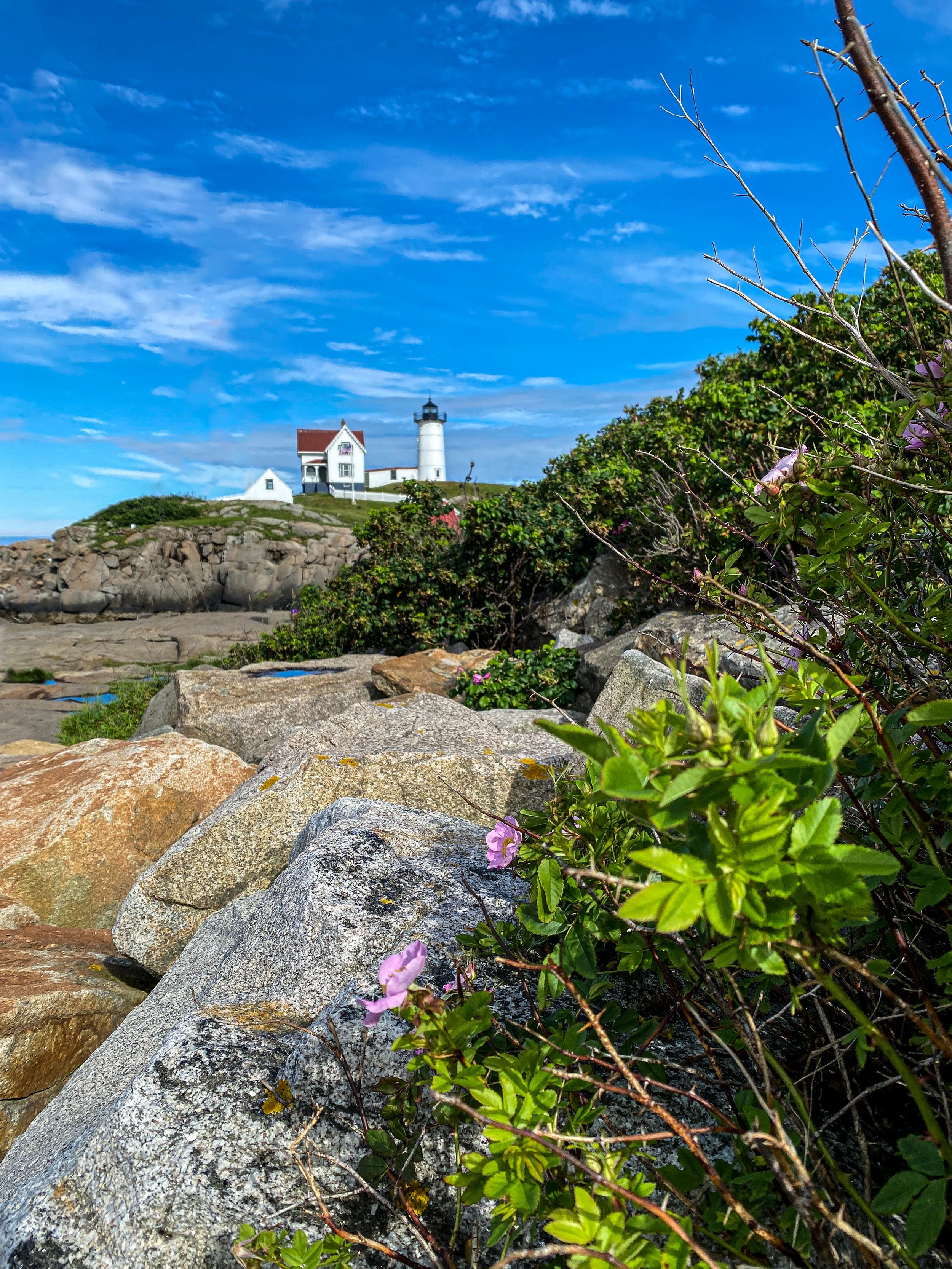
*4 out of 5 stars* The view of the Nubble Lighthouse and the entire part of this coast is incredibly beautiful especially on a nice sunny day. The only reason i didn’t give it 5 stars is because I was bummed that I couldn’t get a closer look.
About the place:
The Nubble Lighthouse was first put into use in 1879 and is still used to this day. There are tour boats you can take to get a a view of the lighthouse from multiple angles along with hearing the history or you can just take it in from the beautiful viewing area. This viewing area is found in Sohier Park along with bathrooms, a gift shop, restaurant & ice cream stand.
How to get there:
The Nubble Lighthouse is very easy to find and the roads leading up to it have great signage, plus you can always just follow the crowd. This great stop is located in Sohier Park, right off of Sohier Park Road.
Places near by:
York Beach 5 mins away (1.9 miles away)
Portsmouth, NH 25 mins away (14.5 miles away )
Hampton Beach 35 mins away (27.7 miles away)
Hancock County ~ Acadia National Park
Otter Cliff
Bar Harbor, ME
Our Rating:
*4 out of 5 stars* Otter Cliffs is a must stop along the Park Loop Scenic Road. You can get views from below the cliffs or right from the summit. Both are spectacular views!
About the Place:
Otter Cliff is a popular stop in Acadia National Park due to its beautiful views. You can stop at Boulder Beach to get views of the cliffs from below or you can continue up Park Loop Road to get a view from above. If you park at the Otter Cliff Overlook Parking Lot on Park Loop Road you can cross the street and follow the trail along the shore. This will give you some beautiful views as you explore along the cliffs.
How to get there:
You can get a view of the cliffs from below by going to Boulder Beach on Park Loop Road. Or you can follow this same road to the top and park at the Otter Cliff Overlook Parking Lot and follow the trail across the street.
Things near by:
Jordan Pond Loop 7.5 miles away (16 mins)
Gorge Path 9.3 miles away (19 min)
Cadillac Summit Drive 12.2 miles away (28 mins)
Bar Island Land Bridge 13.4 miles away (30 mins)
Beehive Trailhead 16.9 miles away (36 mins)
Ocean Path Trailhead 17 miles away (37 mins)
Thunder Hole 17.6 miles away (39 mins)
Gorham Mtn Trailhead 18 miles away (40 mins)
Acadia Mountain 18.9 miles away (33 mins)
Beach Cliff Loop 19.4 miles away (35 mins)
Bass Harbor Head Lighthouse 26.3 miles away (47 mins)


