Las Vegas to Salt Lake City
. 4 days . 9 hours 50 mins . 545 miles .
Tips:
Prepare not to have service for the majority of the trip.
If you make this drive in the winter be sure to pay attention to weather and pack for all types of it. The temperature can change pretty drastically between these stops.
Helpful gear: Waterproof Phone Case for the Narrows & the hot spring. Flip flops or water shoes for the hot spring. Rent gear from Zion Outfitters for the Narrows hike but be sure to make reservations ahead of time.
Below is a general overview of the road trip.
Day 1
Total Driving: 3 hours 20 mins 188 miles
Las Vegas Strip, NV
Start:
~ 57 mins ~ 53 miles ~
To:
Stop #1:
Beehives
Fire Wave
White Domes Loop
Fire Wave
Valley of Fire State Park
Hikes/sightseeing we did:
Beehives: Very easy to visit as there is little to no hiking involved. This was a super fun spot to get out & stretch our legs!
Fire Wave Trail: Fairly easy 1.5 mile hike but prepare to be in the sun for this one. Most popular hike so try to arrive early. The parking lot fills up fast!
White Domes Loop: Easy 1.25 loop that offers a little bit of everything the park has to offer. Highly recommend this one.
Other options:
Elephant Rock: Can see from side of road but people suggest hiking up to see from the other side.
Atlatl Rock: 0.1 mile round trip hike.
Arch Rock: Easy 5 minute stop. Can explore around as much as you’d like.
Rainbow Vista Overlook Trail: 1 mile round trip hike.
29450 ቫሊ ኦፍ ፋየር ሃይዌይ, Overton, NV 89040
To:
~ 2 hours 18 mins ~ 128 miles ~
End:
Best Western Plus Zion Canyon & Suites
668 Zion Park Blvd, Springdale, UT, 84767
Day 2
Total Driving: 2 hours 83.4 miles
Start:
Best Western Plus Zion Canyon & Suites
668 Zion Park Blvd, Springdale, UT, 84767
To:
~ 2 mins ~ 0.9 miles ~
Zion National Park
The Narrows of Zion
The Narrows of Zion
The Narrows
Zion National Park
Stop # 1:
Hikes / Sightseeing we did:
Drove through The Zion-Mount Carmel Tunnel (1.1 miles long)
The Narrows: Anywhere between 2-10 miles depending on how far you want to go. I recommend renting gear in advance for this. WARNING: Do not go if there is a chance of rain or snow. Flashfloods can happen at any time.
Other options:
Angels Landing: 5 mile round trip hike. Need permit for this hike.
Canyon Overlook Trail: 1 mile round trip hike.
Emerald Pool Trails
Zion Canyon Overlook Trail: 1 mile round trip
7XXF+7F Springdale, Utah
~ 1 hour 38 mins ~ 72.2 miles ~
To:
Red Canyon Arch
Utah 12, Panguitch, UT
*If it’s too dark when you get here, you will pass through here again tomorrow*
Red Canyon Arch
Stop # 2:
~ 15 mins ~ 10.3 miles ~
To:
Best Western Plus Bryce Canyon Grand Hotel
End:
30 N 100 E, Bryce Canyon City, UT 84764
Day 3
Total Driving: 2 hours 105.6 miles
Start:
Best Western Plus Bryce Canyon Grand Hotel
30 N 100 E, Bryce Canyon City, UT 84764
~ 4 mins ~ 1.7 miles ~
To:
Nabajo Loop
Nabajo Loop
Stop # 1:
Bryce Point Overview
Mossy Cave
Bryce Canyon National Park
Hikes / Sightseeing we did:
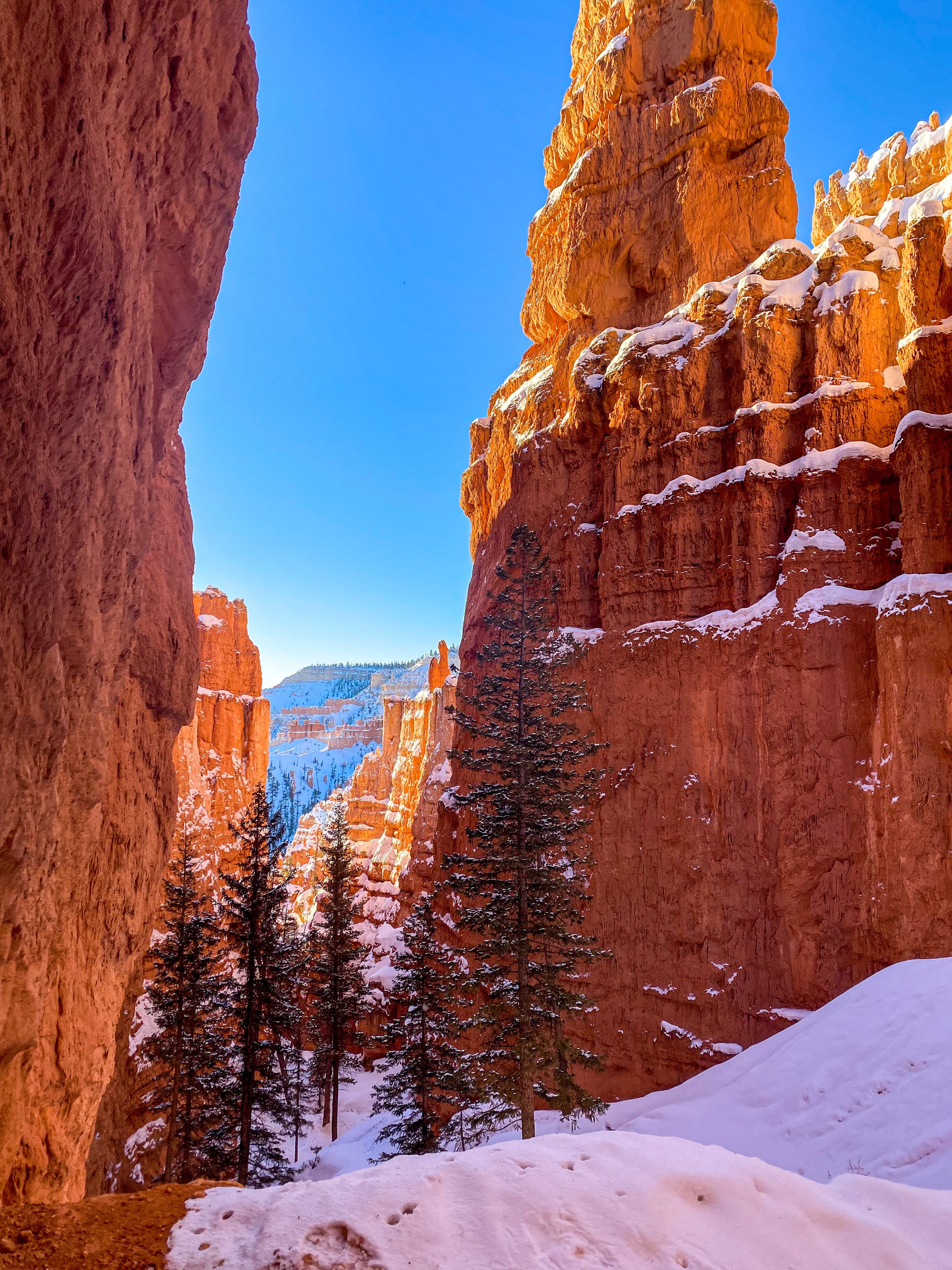
Navajo Loop: 1.4 mile round trip trail. Highly recommend doing a sunrise hike here! It was incredibly beautiful & little to no people. This is a popular trail!
Mossy Cave Trail: Easy 0.8 mile round trip hike.
Overlooks (all that are open in winter): Inspiration Point, Bryce Point, Sunset Point
Utah
To:
~ 1 hour 40 mins ~ 93.2 miles ~
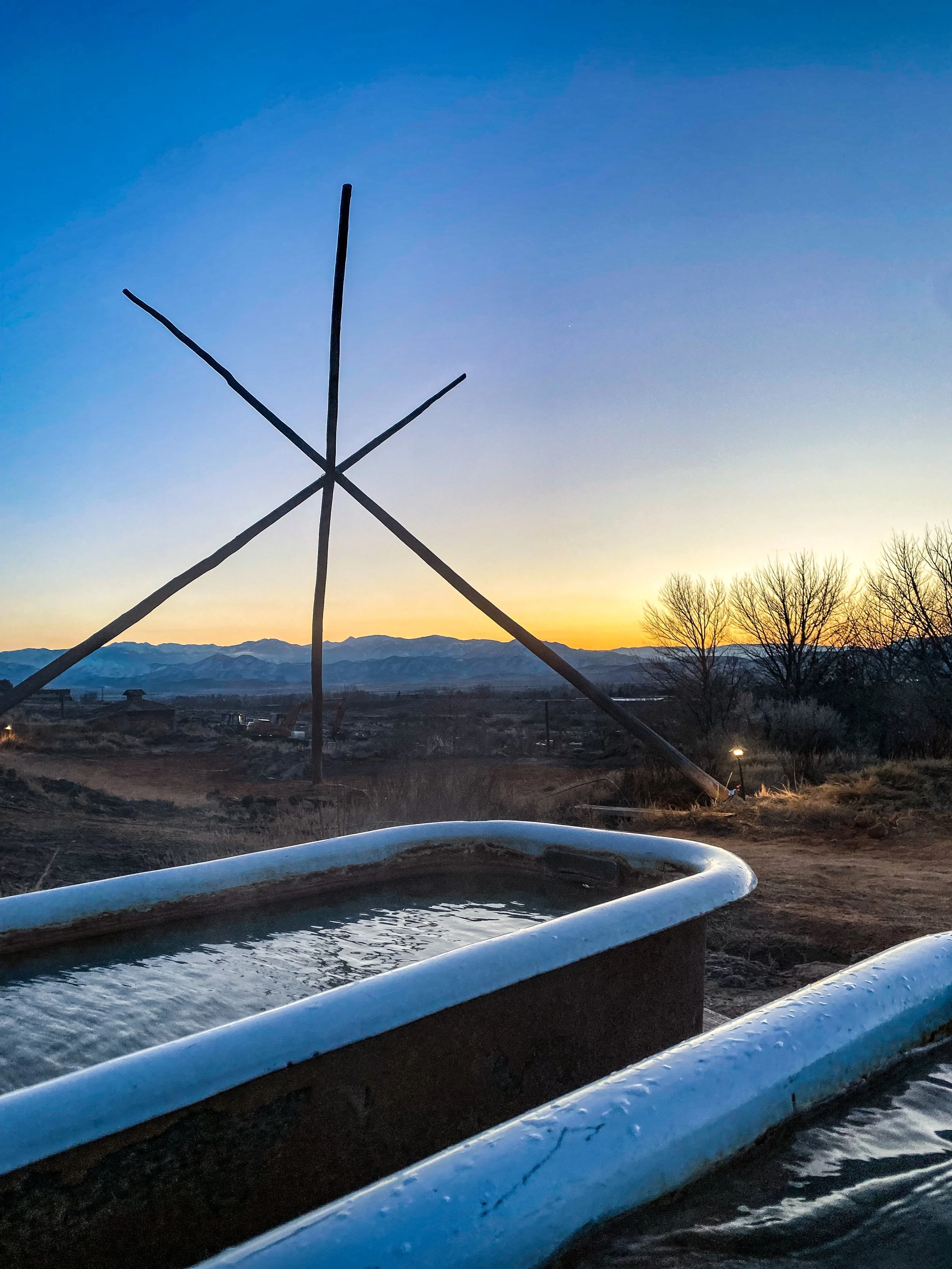
Mystic Hot Springs
Mystic Hot Springs
Stop # 2:
Mystic Hot Springs
Need a reservation, can book at https://mystichotsprings.com/experiences/soaking-passes/ .
Admission: $25 (adults) , $12.50 (kids)
475 E 100 N, Monroe, UT 84754
~ 16 mins ~ 10.7 miles ~
To:
End:
Hampton Inn Richfield
1100 W 1350 S, Richfield, UT 84701
Day 4
Total Driving: 2 hours 30 mins 168 miles
Start:
Hampton Inn Richfield
1100 W 1350 S, Richfield, UT 84701
~ 2 hours 30 mins ~ 168 miles ~
To:
End:
Salt Lake City International Airport
Hikes along the way:
Battle Creak Falls - 1.4 miles round trip
W Terminal Dr, Salt Lake City, UT 84122


